
Nitro Previous Residents by Era
Each source answers a different part of address history. The parcel and deed chain identify ownership. Directories and census schedules can identify people associated with the address. Maps and permits describe the structure. Obituaries and probate records explain some endings in the trail. Start with the source closest to the target year, then use a second record to test the match.
| Evidence source | Time covered | Where to obtain it | What it contributes |
|---|---|---|---|
| Public federal census schedules | Through 1950 under the 72-year rule | National Archives and authorized access | Household, relationship, age, and residence |
| Charleston-area city directories | Archives list from 1874-75 through 2016, with gaps; KCPL states Polk 1908-present for Charleston and suburbs | State Archives and KCPL | Name, address, and possible household marks if Nitro is included |
| Digitized West Virginia directories | 1839-1929 | William & Mary Libraries | Historical name, address, and business clues |
| Kanawha Land Books | 1791-1962 | Kanawha Assessor viewer | Tax ownership by year, book, district, and page |
| Assessor and parcel GIS | Current cycle with visible prior-ownership details | County assessor and WV Property Viewer | Owner, situs, mailing address, parcel, legal description, sales |
| County deeds | Online cutoff not posted | Kanawha or Putnam County Clerk | Grantor, grantee, legal description, and title chain |
| Nitro permits | Archive start date not posted | Nitro Building Department | Project address, owner, contractor, work, and cost |
| Nitro Sanborn map | 1928 | WVU Regional History Center | Building footprint and use, not a resident roll |
For a recent question, begin with the parcel card. For an early twentieth-century address, compare the city directory, census, and Sanborn map. The land books become more useful as the title trail reaches older Kanawha tax years.
Anchor Nitro Past Residents to Parcels
Search the Kanawha property system when the parcel is on Nitro's Kanawha side. It accepts owner, street address, account, district, map and parcel, legal description, and deed book/page. The result can show the current owner, mailing and street addresses, deed reference, taxing district, legal description, sales history, and assessment details.
Then inspect the West Virginia Property Viewer. Save the PID, map and parcel numbers, situs address, mailing address, legal description, prior-ownership row, and deed book/page. Situs means the physical parcel location. A tax mailing address is where the bill goes, and it may belong to an owner who lives elsewhere.
Nitro crosses two counties. A Nitro postal name does not tell you which county clerk holds the deed. Confirm the parcel's county and district before contacting Kanawha or Putnam County. This one check prevents a great deal of false searching.
Note: A current tax owner is not proof of the present occupant and should not be labeled as one without another reliable source.
Walk Nitro's Deed Chain Backward
The deed chain is the strongest path for previous owners. West Virginia law links clerk transfers to assessor records through grantor, grantee, property location, book/page, district, municipality, and parcel data. That bridge lets a modern address lead into older recorded instruments even when the street number is weak.
- Capture the current parcel ID, owner, situs, legal description, district, and deed book/page from the assessor or property viewer.
- Request the current recorded deed from the correct county clerk. Read the seller, execution date, recording date, and source-of-title reference.
- Search that seller as the earlier grantee. Match the legal description and parcel facts, not just the current street number.
- Repeat the seller-to-grantee step. Log each party, instrument type, book/page, date, description, and confidence.
- When the web trail ends, move to the public terminal, deed books, microfilm, or archive holdings. Confirm copy costs before visiting.
- Grantor and grantee
- The grantor transfers the interest; the grantee receives it.
- Chain of title
- The linked sequence of recorded transfers for the same property.
- Legal description
- The formal lot, block, subdivision, tract, or boundary wording that identifies land even when an address changes.
- Source of title
- A deed reference pointing to the earlier recorded instrument from which the seller's interest came.
The official Kanawha online grantor-grantee cutoff was not found. Do not assume the current parcel site's dates are the deed index's range. The Kanawha County Clerk Record Room at 409 Virginia Street East, Charleston, is open Monday through Friday, 8 a.m. to 5 p.m., and can be reached at 304-357-0240. Putnam-side deeds require the Putnam County Clerk route.
Kanawha Land Books Find Earlier Owners
The Kanawha Land Book Viewer advertises books from 1791 through 1962, with more years being scanned. It uses year, book, district, and page controls. The site is valuable for old tax ownership, but it is not a modern deed-image or grantor-grantee search.
The viewer shown below is one of Nitro's longest online property-history routes.
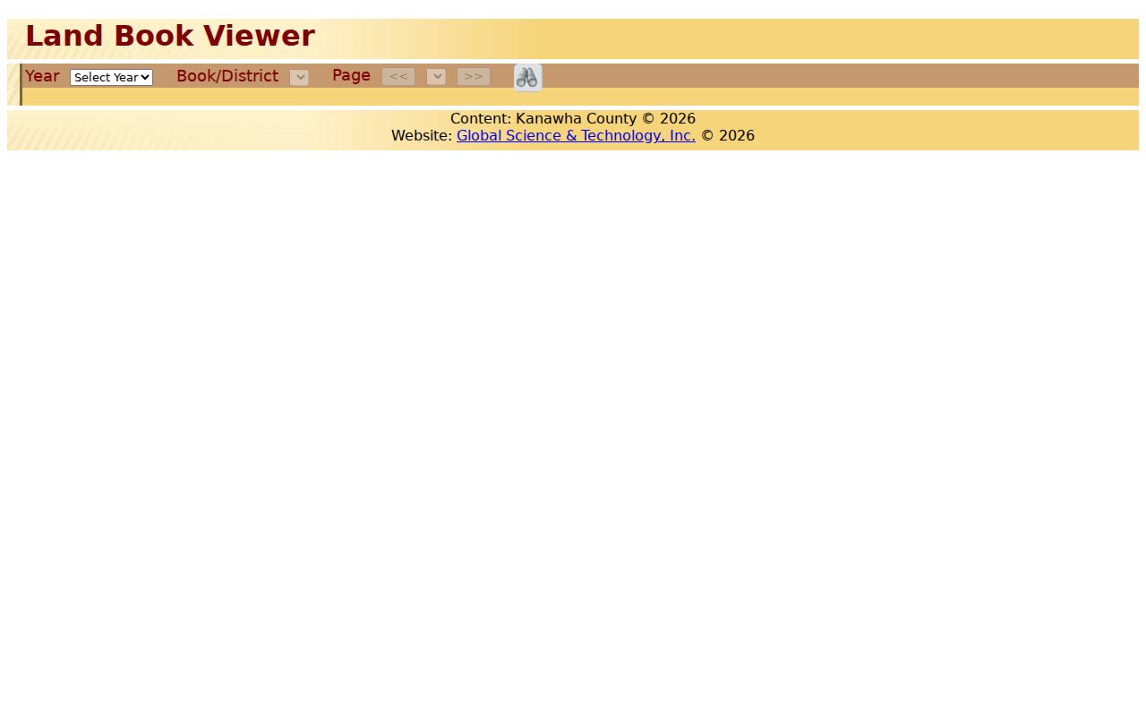
Use a known tax district, year, and prior owner to test a land-book page. Save the year and page image reference. Then return to deeds, probate, or directories for proof of a transfer or household.
A name on a land book supports tax ownership in that record year. It does not by itself show who slept at the address, whether the building existed in its present form, or whether the named owner lived in Nitro.
Map Nitro Previous Residents in 1928
The WVU Nitro Sanborn set is a ten-TIFF digital object totaling about 1.91 GB. The 1928 fire-insurance maps can show street layout, building footprint, size, shape, materials, use, hydrants, and water mains. They are not a list of residents. Their value is physical continuity.
The collection page below is the documented access point for this unusually detailed small-city map set.
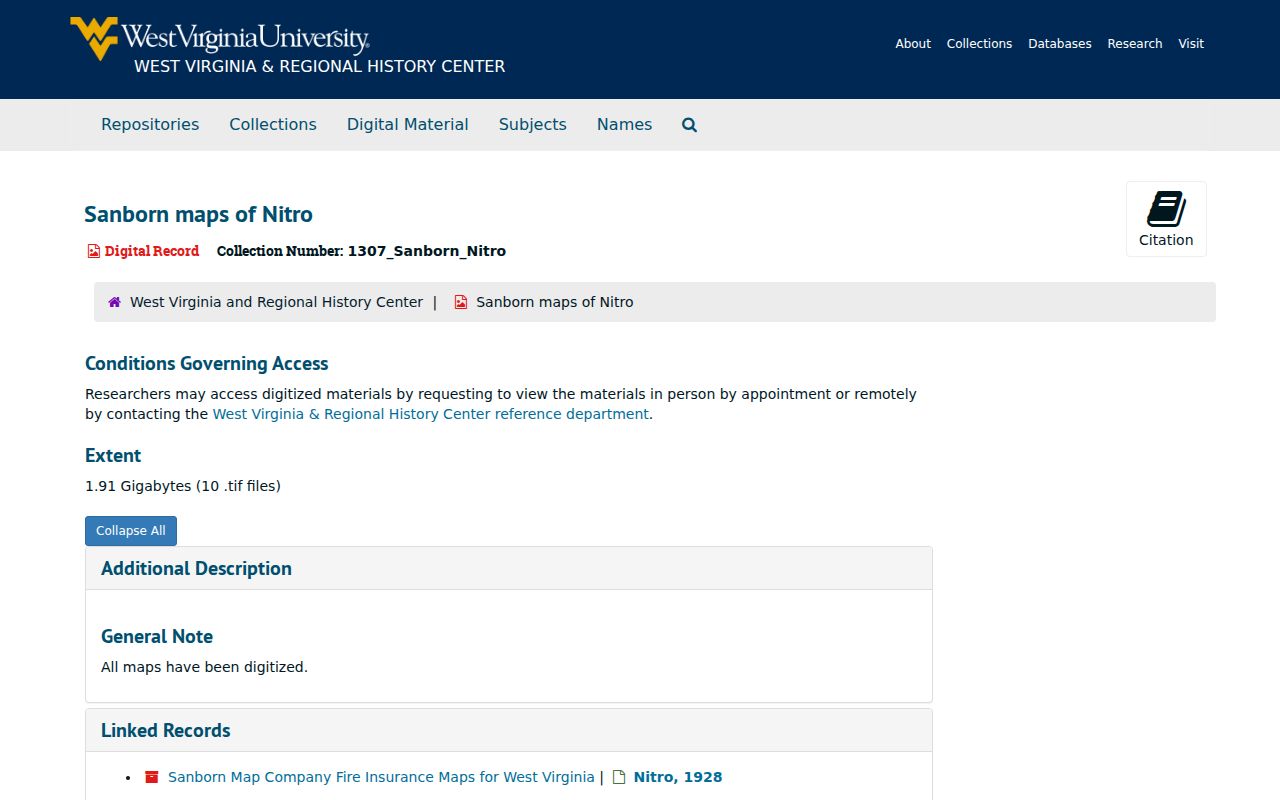
If a directory lists an address in that year, the map can test whether the site was a dwelling, store, industrial building, or vacant lot. A changed footprint can bracket construction or conversion, especially when paired with a permit or later parcel card.
WVU notes restrictions for post-1923 material. Contact the Regional History Center before republication. Research access can be arranged through its remote-contact or appointment channels.
Keep Nitro Address History Continuous
Old address work fails when the searcher follows only a street number. Nitro's county line, annexation discussions, street abandonment, and broader Charleston directory labels can all interrupt the apparent trail. Preserve the parcel ID, legal description, lot or tract, subdivision, district, and every cited book/page.
Council records discuss public notice for street changes and Wilson Avenue or interstate annexation matters, but a meeting reference is not the final legal proof. Locate the operative ordinance or recorded instrument, then compare it with the map and parcel description. A postal city label also cannot settle the county question.
What if the number changes? Search the stable legal description and PID, then compare nearby parcels, map geometry, and old street headings. A match based only on a similar number is too weak.
Find Nitro Past Households
Owners are only one part of the story. Charleston-area directory books may identify a named person at a street address when Nitro is included. Public census schedules through 1950 can show household members and relationships. The collection years and access choices are detailed on the Nitro city directory page.
Use a simple flow: known address and year, directory street section, name entry, nearest public census schedule, obituary or probate check. Record spellings and household marks exactly. Search adjacent directory years because one missing entry can reflect an omission, a changed name, or a coverage gap.
- Choose the directory year closest to the target date and verify that its regional coverage includes Nitro.
- Search the street or criss-cross section, then locate each name in the alphabetical section.
- Compare the nearest public census schedule for age, relationships, street, and nearby households.
- Use a later directory, obituary, or probate record to explain when the household changed.
A criss-cross directory is an address-order directory that lets a reader start from a street rather than a surname. An enumeration district is the census area assigned to an enumerator. Both can help locate an address, but their boundaries and labels must be checked for the year used.
Date Nitro Changes With Permits
The Nitro Building Department publishes permit forms, but no public searchable permit archive or starting year was found. The form can capture project address, owner, contractor, license details, estimated cost, work description, and signature. Request records by a narrow address and date range.
A permit can date an addition, conversion, demolition, or major repair. It does not prove that the owner or contractor lived at the property. Compare the permit with Sanborn footprints, parcel building facts, and deeds before using it to explain an address-history change.
Utility customer lists are not a public substitute. When the city has no online index, contact the department or make a precise request to the correct custodian under the West Virginia Freedom of Information Act.
Note: Confirm whether an older permit series exists and how it is indexed before assuming that a missing file means no work occurred.
Close Nitro Resident Trails Carefully
Obituaries and probate files can explain why previous residents vanish from an address trail. The KCPL obituary request is the documented library route. Give the exact name, likely date, location, and county side. Newspapers and State Archives microfilm provide a fallback when the form's available title or date is uncertain.
Probate material may identify heirs and addresses in wills or estate filings. Begin with the county clerk or circuit clerk, then use the circuit docket where suitable. Restricted portions remain restricted. A death notice or heir address is not proof that every named relative lived at the subject property.
Lawful use. Research Nitro previous residents for family history, estate work, property history, or personal curiosity. Never use an address trail to stalk, harass, or harm a living person.