
Which Nitro Neighbor Records Help
Public records describe land, registered voters, and dated community activity rather than a complete household. For Nitro neighbors, the strongest starting source is the statewide parcel map because it displays nearby parcel shapes and links each selected tract to assessment details. The Kanawha Assessor adds a direct owner or street search for the Kanawha side. Putnam County keeps its own parallel records for the part of Nitro across the county line. Voter data can confirm a named registrant under state rules, but the public lookup is not an address roster.
| Source | What It Shows About a Block | Access |
|---|---|---|
| WV Property Viewer | Parcel outlines, selected owners, assessment links, sales, and nearby tracts | Free statewide map |
| County assessment roll | Owner, situs address, mailing address, parcel, deed reference, and values | Web search or county office |
| Voter records | Status and districts for a person whose name and birth date are known | Individual lookup or lawful inspection |
| Civic organizations | Public contacts and community activity, not household rosters | Organization pages or request |
| Historic directories and maps | Past address entries and the former physical setting | Library, archives, or digital object |
An assessment entry confirms who is taxed as the owner. It does not prove that owner lives there today. A mailing address that matches the parcel address supports an inference, as may a homestead notation when present, but neither is a roll of all occupants. Keep the labels exact. “Situs” means the physical location of the parcel, while “mailing” is where the tax bill goes. That distinction prevents a distant owner from being mistaken for one of the immediate neighbors.
Nitro Parcels Cross County Lines
Nitro occupies land in Kanawha and Putnam counties. That geographic fact changes the custodian, district, tax roll, deed room, and election office behind an address. A Nitro postal label alone does not identify the county side. Begin with the statewide map or a parcel identifier, then note the county and district displayed with the result. The Kanawha County Clerk and Assessor handle the Kanawha side, while the Putnam County Clerk is the parallel recorded-instrument source across the line.
This split also explains why a name can appear absent from one search. The record may sit in the other county, use a separate district label, or carry a mailing city that differs from municipal jurisdiction. When comparing nearby owners, keep separate columns for county, district, parcel ID, situs address, and mailing address. That small worksheet makes the block reproducible and keeps unlike records from being joined.
Note: Confirm the county from parcel data before calling a clerk, since the word “Nitro” does not settle jurisdiction.
Click Around a Nitro Block
The West Virginia Property Viewer is designed for map browsing. Parcel boundaries appear only after the map is close enough, at a scale of 1:18,056 or nearer. Click the known parcel first. Its Basic Information panel and parcel ID create an anchor. Then click the parcel on each side, the lots across the street, and corner parcels that share the immediate block. Multiple matches may appear in a popup, so save the exact parcel ID rather than relying on screen position.
The viewer also offers Search by Geometry with a buffer size and unit, coordinate search, measuring, bookmarks, printing, and share links. Those tools help define a short street segment rather than a whole named road. A buffer is an area drawn around the selected point or shape. It may capture parcels that only touch the edge, so inspect each result. The map warns that its data are for general information and are not a survey or warranty.
The official parcel viewer shows the map surface used for a Nitro neighbor search.
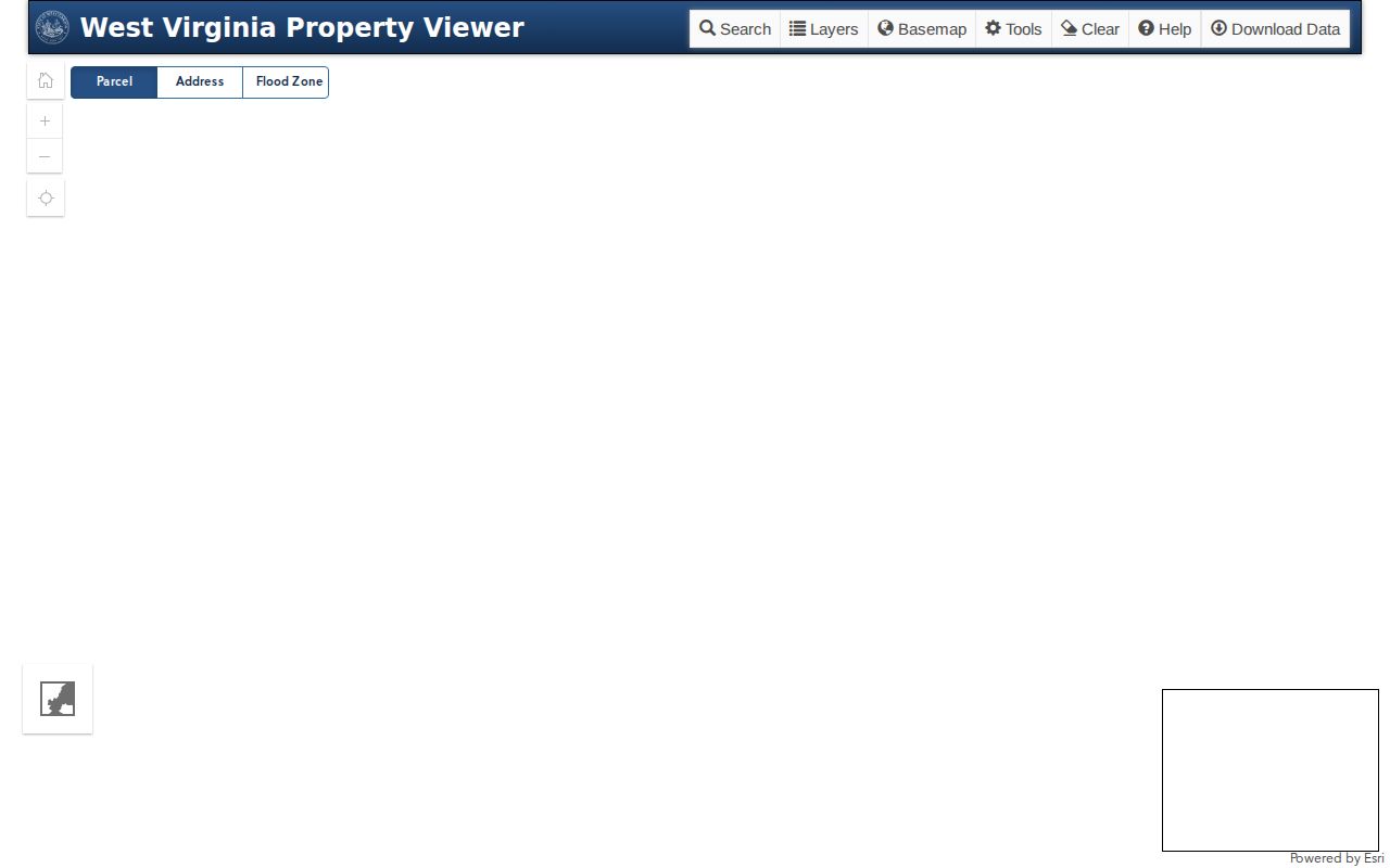
Use the selected parcel details to identify the next lot, then confirm each owner in the assessment record.
Map Nitro Neighbors Parcel by Parcel
A sound block search moves from geometry to the record behind it. Start with one verified address, expand only to the lots that define the nearby block, and preserve each identifier before comparing names. This process does not turn a tax owner into an occupant. It creates a documented map of ownership that can be checked again when the annual assessment file changes.
- Locate the starting address in the WV Property Viewer and record the full parcel ID, county, district, and legal description.
- Click outward one lot at a time. Save the parcel ID and situs address for the side, rear, corner, and facing parcels.
- Open the assessment detail for each tract. Compare the owner, mailing address, situs address, deed book and page, and any prior-owner row.
- Mark matches as owners, not residents. Treat a matching mailing address or exemption only as support for possible owner occupancy.
- Save a share link or printed map with the date, scale, and source so another search can reproduce the same block.
The state assessment search can also filter by county, district, full parcel ID, owner, street, land use, sale dates, flood hazard, mailing address, deed book and page, and legal description. Use those filters after the map identifies the county. For a road-wide chain rather than just nearby parcels, follow the Nitro street directory method.
Nitro Addresses Need Four Labels
Four address labels can describe one tract, and they are not interchangeable. The situs address locates the parcel. The mailing address receives a tax notice. The legal description identifies land by lot, subdivision, acreage, or boundary language. The postal address is standardized for mail delivery. Nitro neighbors can be misidentified when a researcher copies one field into another without its label.
- Parcel ID
- The county or statewide identifier used to retrieve a specific assessment tract.
- Situs address
- The physical address assigned to the land or structure.
- Mailing address
- The destination for tax correspondence, which may be elsewhere.
- Legal description
- The recorded lot, subdivision, and boundary wording that follows the land.
- Buffer
- A user-set map area around a point or shape that finds intersecting parcels.
Book and page provide the bridge from assessment data to the recorded deed. The deed can explain ownership shares and a prior transfer, but it still does not list all people who use the address. Preserve the exact legal description when street numbers, abbreviations, or mailing labels disagree.
Nitro Voter Data Stays Narrow
The Secretary of State voter lookup asks for first name, last name, and date of birth. A matching result can show status, party, districts, and polling place. It cannot be run as a public reverse-address tool for everyone on a block. That makes it useful only when a person is already known and the goal is to confirm current registration context.
West Virginia Code §3-2-30 governs inspection of specified registration and precinct-list information. It excludes telephone numbers, email addresses, Social Security numbers, and driver or state identification numbers from the inspectable categories. The statute also places limits on use. Kanawha and Putnam election offices are the custodians for their respective parts of Nitro, and the individual web form does not replace a lawful, specific office request.
Absence from the lookup does not prove that someone moved. The name or birth date may differ, the registration may be inactive, the address may be protected, or the person may not be registered. For those reasons, voter data should confirm one narrow fact rather than define all Nitro neighbors.
Nitro Civic Contacts, Not Rosters
No public Nitro neighborhood-association or HOA umbrella directory was found in the official sources reviewed. The city still has a useful civic network. These groups offer public contact points and context for local events, preservation, and development, but their pages are not evidence that any named person lives on a certain block.
Nitro Historical Commission
Nitro Museum contact
Local history and artifacts
681-217-1001
The city strategic plan also names church groups, a Civic Benefit Association, the Chamber, the museum, and other organizations. Ask a group for public event or officer information, not a private member roster. The Development Authority’s public page illustrates the kind of organization contact that can connect a block to civic work.

Its office details establish a civic contact, while no claim is made about private membership or nearby households.
Past Neighbors on the 1928 Map
Historic block research works differently from a present-day parcel search. WVU’s Regional History Center holds a digitized Nitro Sanborn fire-insurance map dated 1928. The object consists of ten TIFF files totaling about 1.91 GB. Its sheets can show street layout, building footprints, uses, construction clues, and adjacent lots. They do not supply a modern household roster, but they can show why an old address or structure no longer matches the present map.
Pair the Sanborn sheet with a dated city directory, newspaper, deed, census, or obituary. Kanawha County Public Library offers in-library Polk’s Charleston directories covering Charleston and neighboring suburbs from 1908 onward, though Nitro’s inclusion must be checked year by year. A street entry can name a householder, while the map shows the physical block. The State Archives and Nitro library are the offline fallbacks when no image or local index appears online.
Note: A historic map fixes buildings in one year; it does not identify every person who lived beside them.
Official Versus Commercial Block Results
Official records and commercial neighbor tools answer different questions. An assessor identifies the taxpayer for a parcel and labels its fields. A deed supplies a recorded transfer. A voter office applies statutory access rules. A commercial result may blend old addresses, phone data, and inferred relatives without disclosing how each fact was matched. Treat the latter as a lead, never as proof about Nitro neighbors.
| Source type | Best use | Main limit |
|---|---|---|
| Official parcel and tax roll | Map land and identify the assessed owner | Does not list every occupant |
| Recorded deed | Confirm title parties and transfer references | May be older than current occupancy |
| Voter source | Check one known registrant under state rules | Not a complete block roster |
| Commercial category | Generate a clue for later verification | Can merge stale or unrelated data |
Use the source date and field label in every note. If a portal fails, contact the county assessor or clerk, use an in-person terminal when offered, or submit a specific request to the custodian under the West Virginia Freedom of Information Act. FOIA cannot override sealed records, certificate eligibility rules, or a protected address.
Keep Nitro Neighbor Searches Lawful
No public parcel tool reveals a complete private household. Renters, children, relatives, guests, and other occupants may not be indexed at all. Utility, motor-vehicle, delivery, and similar private account data are not a substitute. Sealed cases and restricted vital records also stay outside an ordinary search. These gaps are limits, not problems to route around.
West Virginia’s Safe at Home program lets qualifying survivors use a designated address accepted by agencies and courts. Enrollment generally lasts four years and is completed through an approved application assistant. A protected person may therefore be missing from the normal property or voter trail by design. Never try to connect the substitute address to a physical one.
Lawful use. Research Nitro neighbors for civic, family-history, or personal safety reasons. Never use records to watch, harass, intimidate, or harm anyone.
West Virginia Code §61-2-9A addresses stalking and harassment through a course of conduct. Public availability is not consent to contact, publish, or monitor a person. Stop when a record is protected, confirm uncertain facts with the custodian, and keep the scope to the block question that prompted the search.